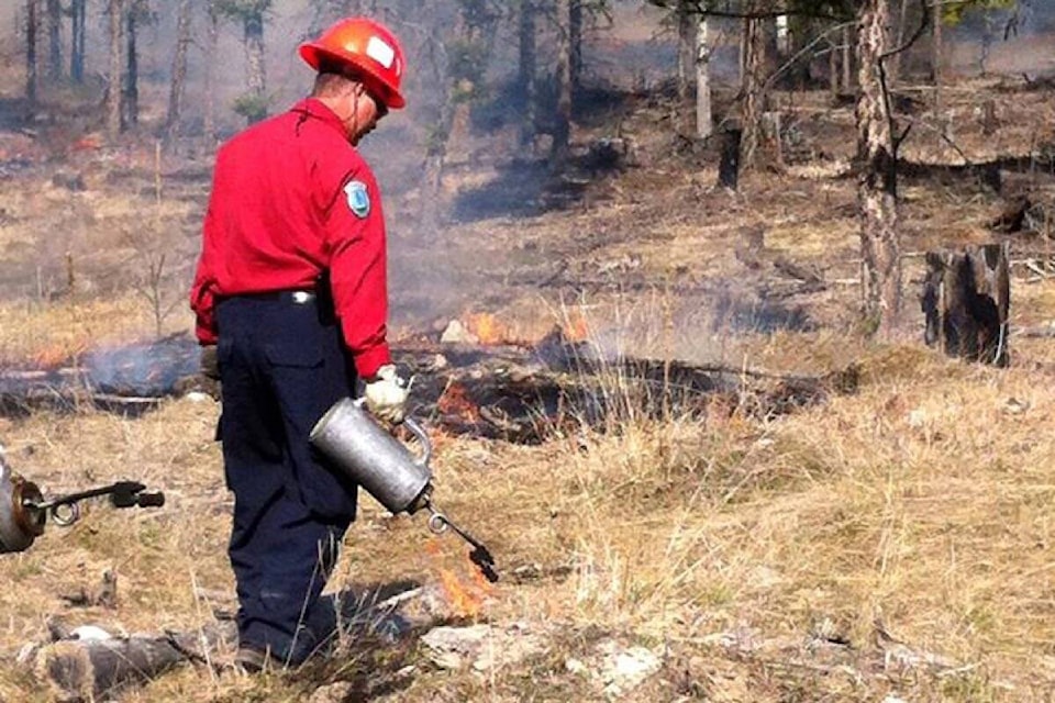
BC Wildfire Service (BCWS) will, along with various partner agencies, be carrying out pile burning and several prescribed burns throughout the region, with all burns set to start as early as March 4 and potentially running through the end of April.
BCWS will be conducting a pile burning project at Skihist Provincial Park (campground) off Highway 1 approximately eight kilometres northeast of Lytton. Smoke may be visible from the communities of Lytton, Gladwin, Nicomen, and Lytton First Nation, as well as to travellers along Highways 1 and 12.
BCWS crews will be working to burn approximately 20 piles. The project is taking place in conjunction with danger tree falling in order to remove hazards to trail users and to reduce the accumulation of fuels around the section of Cariboo Waggon Road within the park.
The City of Kamloops, with support from BCWS and Tk'emlúps te Secwépemc, will be conducting a prescribed burn in the Rose Hill area within city limits. This prescribed burn will cover up to eight hectares. Another prescribed burn will take place in the Peterson Creek Nature Park area, also within city limits. This prescribed burn will cover approximately 17 hectares. Smoke may be visible from Kamloops and surrounding areas, and to motorists travelling along Highways 1, 5, and 5A.
BCWS will be supporting Shackan Indian Band in conducting a prescribed burn covering up to 75 hectares, about 35 kilometres west of Merritt. Smoke may be visible to surrounding communities, and to motorists travelling along Highway 8.
BCWS will be assisting the Lower Nicola Indian Band in conducting four prescribed burns, all part of a three-year project which started in 2024. Nicola Mameet IR#1 burn is located approximately six kilometres west of Merritt along Highway 8. The total size of the prescribed burn is 249 hectares, and the goal for this spring is to burn an estimated 50 hectares. Smoke from this burn may be visible to surrounding communities and to motorists travelling on Highway 8.
Speous IR #8 burn will be taking place 16 kilometres west of Merritt, adjacent to Sunshine Valley Road. This prescribed burn will cover 28.5 hectares, and smoke may be visible to residents of Canford, Spius Creek, Nooaitch Indian Band, and Sunshine Valley.
The other two burns will be taking place at Zoht IR #4 (10 kilometres northeast of Merritt along Highway 5A) and Hamilton Creek IR #7 (19 kilometres east of Merritt adjacent to Quilchena Creek).
The exact timing of these burns will depend on weather and site conditions. Burning will only proceed if conditions are suitable and allow for smoke dispersal during burn operations, though smoke may also linger in the following days.
Key goals of prescribed burns include:
- helping to restore forest health and a properly functioning ecosystem;
- improving ungulate (hoofed mammal) winter grazing;
- reducing dead/cured grass to allow for traditional foods and plants to re-establish themselves;
- providing a cross-training opportunity and encouraging interagency cooperation;
- returning a natural and necessary process to the land base;
- reducing build-up of dead and combustible material; and
- removing forest fuels to reduce the long-term risk of wildfire.
Fire is a normal and natural process in many of B.C.’s ecosystems. The BC Wildfire Service works regularly with a range of partners to undertake fuel management activities (including the use of controlled burns), to help reduce the severity of future wildfires and related threats to communities. These projects are carefully planned and only go ahead at the right times and under the right conditions to ensure community and practitioner safety.
You can follow the latest wildfire news, including information about prescribed burns, on the free BC Wildfire Service app, available for Apple (iOS) and Android devices. You can also follow BCWS on Facebook at http://facebook.com/BCForestFireInfo.


