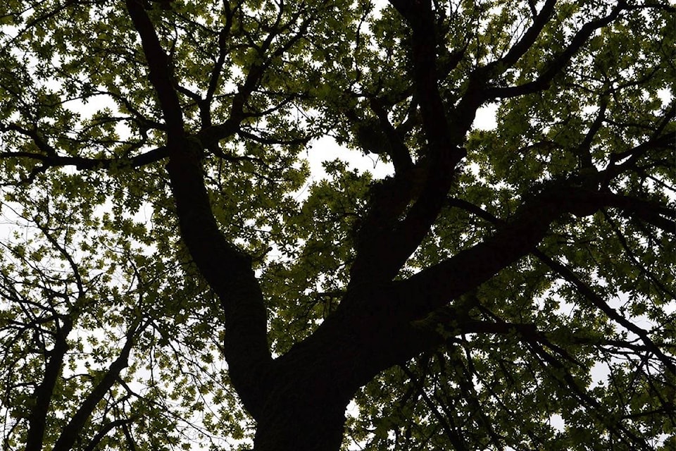
Surrey council approved the transfer of 18.945 acres (7.667 hectares) of land in Fraser Heights from the Nature Conservancy of Canada to the city for parks and conservation, at no cost to Surrey, during Monday's council meeting.
The land is adjacent to undeveloped, treed parkland already owned by Surrey and is located at 17055, 17122 and 17174-106 Avenue as well as 17215-104 Avenue, with the latter being the lone property with roadway frontage.
A corporate report from Surrey's manager of corporate services Joey Brar and Laurie Cavan, manager of parks, recreation and culture, notes that an an NCC-commissioned independent appraiser estimated the properties' combined market value to be $380,000, "which reflects their environmental constraints due to conservation covenants and watercourse impacts."
Brar and Cavan noted the properties are surrounded by parkland that are in in a "similar undeveloped state," making them well-suited to be added to Surrey's inventory of natural parklands.
The private, non-profit Nature Conservancy of Canada donated three of the properties in 2003 to the Land Conservancy of British Columbia and the fourth in 2002. Their ownership was transferred back to the NCC in 2015 on account of organization restructuring.
Cavan and Brar explain in their report that the Ecological Gifts Program administered by Environment and Climate Change Canada, provides income tax incentives "to encourage the donation of ecologically sensitive lands and ensures their protection in perpetuity."
Currently, the subject properties' zoning is a mix of one-acre residential zone, industrial park zone two and are a designated mix of suburban and industrial in the Official Community Plan, "encumbered by a Canada Lands Conservancy Covenant, which restricts subdivision and use of the properties.
"The highest and best use of the subject properties is passive park/conservation purposes," the authors of the corporate report maintain. "Upon transfer, the City will assume perpetual stewardship and management of the subject properties in accordance with the City’s Natural Areas Management Plan which includes guidance on management of vegetation, access (trails), wildlife, yard waste and trees."
Moreover, they reported that annual operating costs for this land is expected "to be minimal as there is currently no public access and minimal interface with open roadways."
Councillor Pardeep Kooner asked if there will be trails. Cavan replied that while there's "technically" no restriction for the City to cut trails there, there's no plan to do so.
"It's fairly steep property and a little bit wet so at this time it wouldn't be a priority location for us to put trails but there's nothing restricting us from the future if we wanted to make an advancement to put trails on there at a future date," Cavan explained.
Kooner then asked how city staff plan to keep the area clean and safe.
"When we look closely at the property, as we did prior to accepting it," Cavan replied, "there's really only very few locations where it would actually interact with a road front which sometimes you would see access in where we would mitigate any hazard trees, so there's only about 25 metres of road frontage on 104 Avenue so very limited, everything else is kind-of in and behind where we already have parkland.
"There's one other location where there's three residential properties that it backs on to so in those two locations we would do more frequent checks for any tree hazards otherwise we would manage it as other urban forests and just enable it to grow in over time," Cavan told council.


