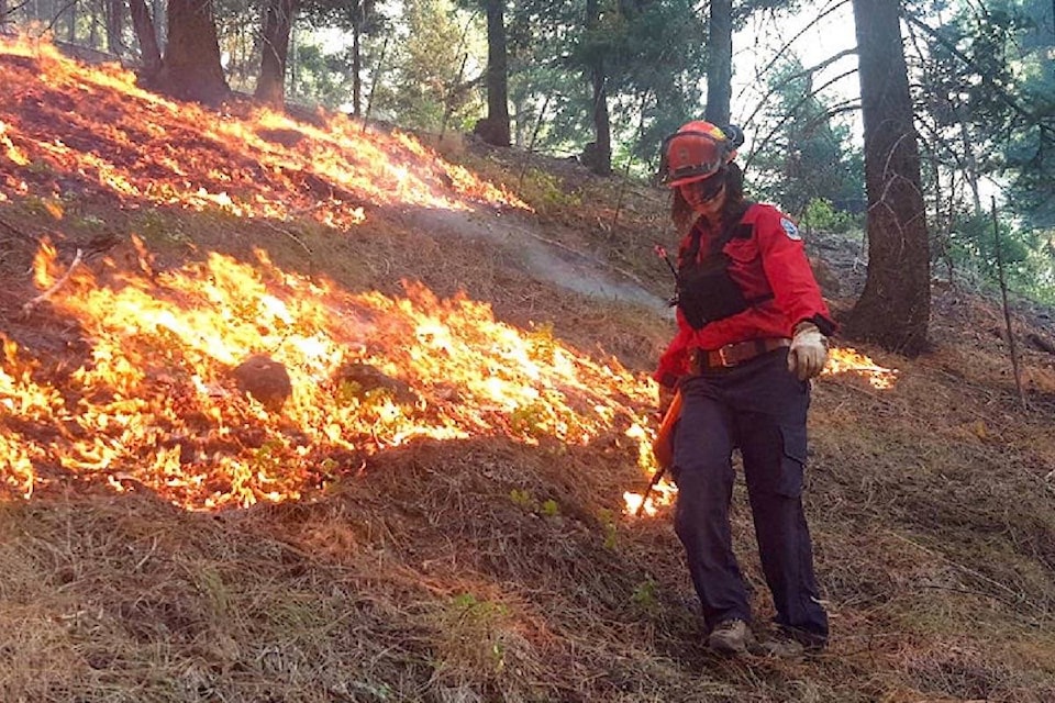
The BC Wildfire Service (BCWS) will be supporting Lytton First Nation in conducting two prescribed burns in the Lytton area over the coming weeks.
The exact timing of these burns will depend on weather and site conditions, but they could occur between March 10 and April 1. Burning will only proceed if conditions are suitable and will allow for smoke dispersal during burn operations, although smoke may linger in the area over the following days.
The 47 Field prescribed burn is located on Ngwyu'uyemc 36 Indian Reserve in the Botanie Valley north of Lytton, and is approximately 43.5 hectares. Key goals of this burn include community wildfire risk reduction and increased productivity of traditional foods.
The burn also provides critical cross-training opportunities for staff of Lytton First Nation and BCWS. Smoke from this prescribed burn may be visible to residents of Lytton and those living within the Botanie Valley, as well as travellers on Highways 1 and 12.
The Green Meadows burn is located on Inkluckcheen 21 Indian Reserve, three kilometres northwest of Lytton, and is approximately 24.5 hectares. Key goals of this prescribed burn include community wildfire risk reduction, ecosystem restoration, and cross training between Lytton First Nation and BCWS.
Smoke from this prescribed burn may be visible to residents of Lytton and to travellers along Highway 12. For information on road conditions, go to www.drivebc.ca.
Fire is a normal and natural process in many of B.C.’s ecosystems. The BC Wildfire Service works regularly with a range of partners to undertake fuel management activities (including the use of controlled burns), in order to help reduce the severity of future wildfires and related threats to communities. These projects are carefully planned and only go ahead at the right times and under the right conditions to ensure community and practitioner safety.


